Hiking in the mountains in Fukui - Mt. Arashimadake -
2019.01.22
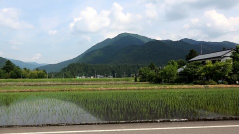
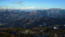
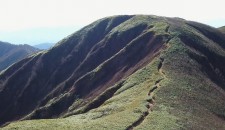
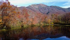
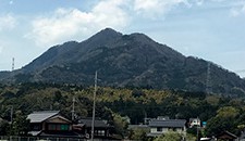
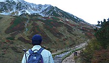
The view of Mt. Arashimadake from the area near Shimonoyui station on the way back to the starting point
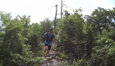
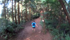
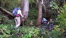
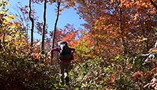
I went hiking in Mt. Arashimadake in Ono City, Fukui Prefecture on June 1st, 2017. I followed a course in a publication of a group of walking in the mountains in Fukui, “Why don’t you go hiking in the mountains in Fukui? VOL.7”.
I took the Nakande course to ascend and Kadohara course to descent from the mountain.
As might be expected of one of the mountains of “Japan’s one hundred top mountains”, there were several large groups of hikers from Tokyo, Hokkaido and Kanagawa despite a weekday.
The hikers in the publication, “Why don’t you go hiking in the mountains in Fukui? VOL.7”, they went hiking on the starting day of the climbing season for Mt. Arashimadake, so there were shuttle buses. However, I went hiking on an ordinary day so there were no shuttle buses. Therefore, after descending from Kadohara course, I took a train of JR Kuzuyu line (it is also referred to JR Etsumi-hoku line) to Shimoyuino and I walked back to the starting point, Nakande parking lot.
The trains don’t run very frequently on JR Kuzuyu line (it is also referred to JR Etsumi-hoku line) so I planned to take the 2:46pm train for Fukui for sure.
Required Time
*Because I was taking videos while I was hiking, the required time is not necessarily reliable for your hiking.
1. Left from Nakande parking lot at 8:30am ~
Reached Mt.Small Arashimadake at 10:42am
( took approximately 2 hours and 10 minutes)
2. Left from the summit of Mt. Small Arashimadake at 10:50am ~
Reached the summit of Mt. Arashimadake at 12:00pm
(took approximately one hour and 10 minutes)
3. Left from the summit of Mt. Arashimaddake at 12:10 ~
Reached Kadohara station at 2:09pm
(took approximately 2 hours)
4. Left from Kadohara station 2:46pm ~
Reached Nakande parking lot at 3:31pm
(took approximately 45 minutes)
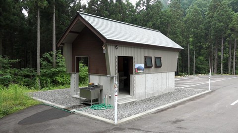
The descent parking lot at the starting point of Nakande couse
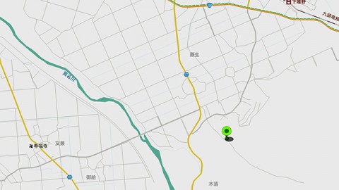
First, searching Nakande in Ono City in a car navigation system, and then setting manually for the area where a green mark is placed in the map above.
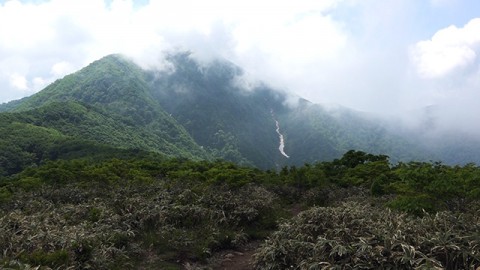
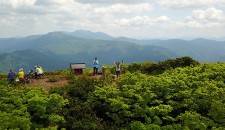
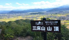
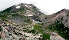
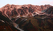
The view of Mt. Arashimadake from the summit of Mt. Small Arashimadake
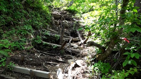
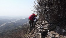
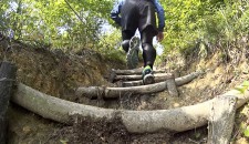
The most difficult area, Mochiga kabe wall
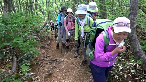
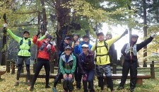
A group of people came all the way from Tokyo to this mountain, one of the mountains of “Japan’s one hundred top mountains”.
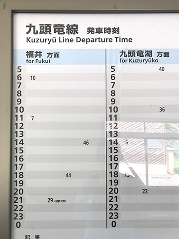
Train schedule of JR Kuzuyu line (it is also referred to JR Etsumi-hoku line) at Kadohara train station
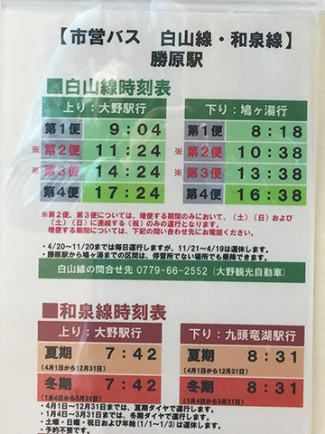
Bus schedule of Ono City bus in front of Kadohara train station
Extra buses run on weekends
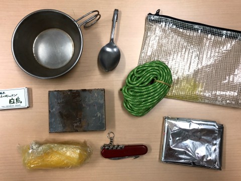
Bringing items for bivouacking in a backpack even for a day trip
A stained box in the left center is a micro stove to burn solid fuels such as METS.
Below the stove, there is a yellow object which is a candle. The silver object at the bottom right is a rescue sheet and the green one is a 3 meters of rope which has a diameter of 3 millimeters.
What to bring (thing I brought with me)
- Rain gear (top and bottom)
- Emergency food ( a bar of chocolate)
- Bivouacking items
- Flash light
- 1/25,000 scale map issued by Geographical Survey Institute
"Mt. Arashimadake" (the mountain I went hiking this time) "descending", "Echizen Asahi" ,"Nakatatsu Kozan" (around Mt. Arashimadake) - Compass
- Food and drinks (bread I bought at a convenience store and two bottles of isotonic drink of 500ml)
- A memo pad and a pen
- Cellular phone (iPhone)
*” Hiking in the mountains in Fukui” is a project in which hikers go hiking in the mountains in Fukui Prefecture along with the information in a publication of a group of walking in the mountains in Fukui, “Why don’t you go hiking in the mountains in Fukui?”
I went hiking in Mt. Arashimadake along with the information in the 2014 edition.

The left publication is 1992 edition. The right one is 2014 edition (the latest one).


