Hiking in the mountains in Fukui-Singing of wild birds in Mt. Genanpo -Meisho Shindo trail- June 2nd, 2018
2020.06.17
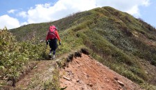
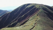
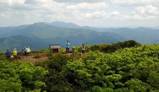
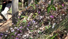
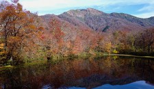
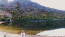
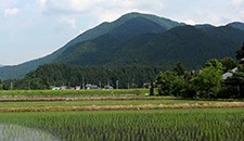
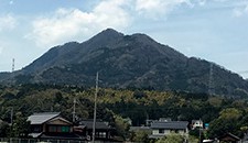
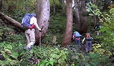
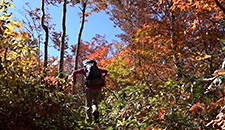
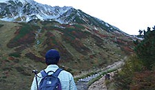
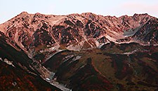
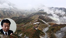
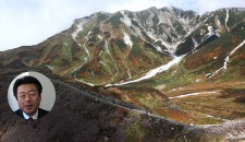
Before the rainy season started, I went hiking in Mt. Genanpou which is in the south-southwest area of Ono City, Fukui Prefecture. Mt. Genanpou is introduced as “Mt. Genanpo” in a 1/25,000. Scale map. On the internet, I saw some information of the mountain that the weather isn’t stable there. Luckily, the weather was good when I went hiking there, so I enjoyed the beautiful view. On the way to the top of the mountain, the surrounding scenery had changed such as from cedar forest to beech forest, to shrub area. And, it was impressive to hear variety of sound of wild birds singing, which had been pleased my ear.
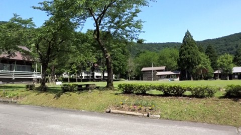
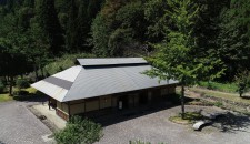
Hokyoji-temple Ikoi no Mori (forest of relaxation) / The building on the left in the photograph above is a bathroom and the front area is a parking space.
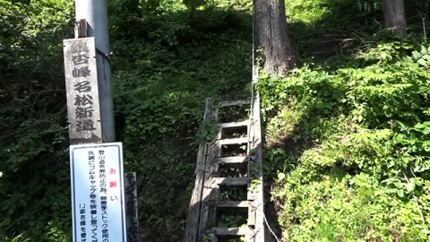
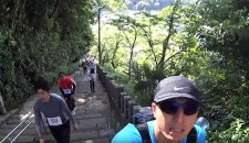
In the publication ” why don’t you go hiking in the mountains in Fukui? Vol 7 (2014 edition)”, it is suggested for hikers to ascend from No.2 starting point of Meisho trail. I tried to do so, however the road wasn’t good near the parking space of the starting point, so I took the different one. I ascended from the starting point in front of Hokyoji-temple campsite.
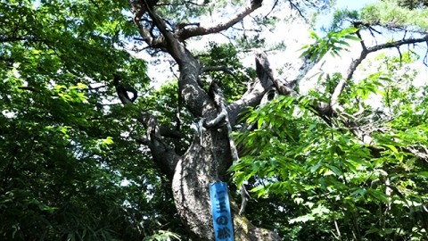
A famous pine tree called “Nio no Matsu”. "Nio" means guardians of the temple and "Matsu" means pine tree in Japanese. There are some trees which have special names on the trail.
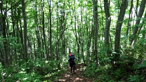
The sound of piculet echoes in the beech forest.
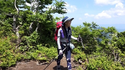
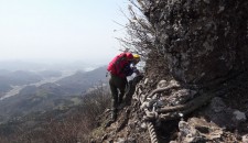
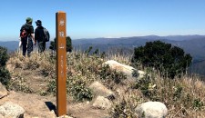
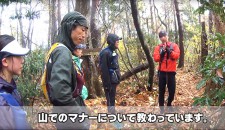
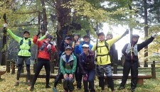
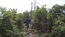
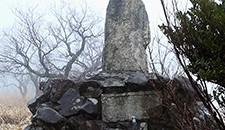
After the steep road, we reached the top of Mt. Maeyama (Elevation:1,150meters). Ms. J who has just started hiking in mountains this year participated in our video.
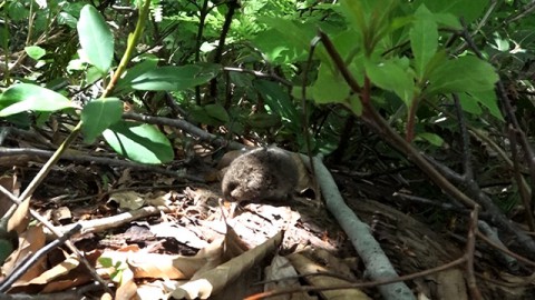
There was a cute animal between fallen leaves and small branches. It might be a Japanese meadow vole.
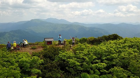
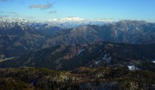
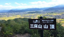
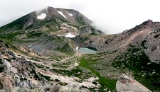
From the top of the Mt. Genanpo, you can see Mt. Nogohakusan which is visible in the back of the photograph and Mt. Ubagatake which is visible in front of Mt. Nogohakusan. I hope to hike in both soon as well.
Map
1/25,000 scale map issued by Geographical Survey Institute, “Hokyoji-temple”
Required Time
9:15 Started ascending from the starting point in front of the campsite
9:45 A forest road (The point where we turned back a while ago)
9:48 No.2 starting point of the trail
10:15 Mikaeri no Matsu Mikaeri means something in return and Matsu means pine tree in Japanese
10:16 Nio no Matsu (800meters elevation) ("Nio" means guardians of the temple and "Matsu" means pine tree in Japanese. )
11:12 Mt. Maeyama (1,150meters elevation)
12:40 The top of Mr. Genanpo (1,440.7meters elevation)
15:24 Parking
*”Hiking in the mountains in Fukui” is a project in which hikers go hiking in the mountains in Fukui Prefecture along the information in a publication of a group of walking in the mountain in Fukui, “Why don’t you go hiking in the mountains in Fukui?”. We went hiking in Mt. Genanpo along with information in the 2014 edition.

Publication of the group of walking in the mountains in Fukui,
“Why don’t you go hiking in the mountains in Fukui?”.
The left publication is 1992 edition. The right one is 2014 edition (the latest one).


