Hiking in the mountains in Fukui -Mt. Hakusan-
2020.11.30
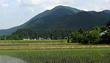
Mt. Hakusan is a mountain located in Ishikawa Prefecture. Since Mt. Hakusan is located near the border of Ishikawa and Fukui prefectures, and it was also opened by the great teacher from Fukui Prefecutre, Taicho Daishi, it is quite familiar to people in Fukui Prefecture as well. In 2017, it was the 1300th anniversary of Mt. Hakusan since Taicho Daishi opened the mountain.
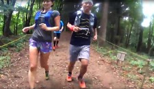
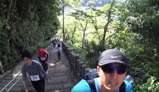
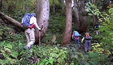
I took the loop trip through Kanko Shindo trail for ascending and Sabo Shindo trail for descending. I went hiking in Mt. Hakusan along with information in the 2014 edition of the publication of a group of walking in the mountain in Fukui, “why don’t you go hiking in the mountains in Fukui?”. Hikers usually take the Sabo Shindo trail for ascending, but it was great to ascend the Kanko Shindo trail which goes on a ridgeway. It was a nice and quiet trail, and I enjoyed the view.
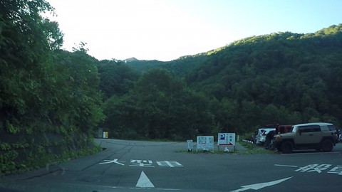
Bettodeai parking lot
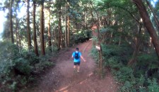
There is a starting point of the hiking course which lead to Bettodeai hiking center
at the back of the upper area of the parking lot.
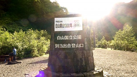
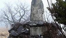
A monument at Bettodeai starting point which says that
Taicho Daishi (the great teacher from Fukui Prefecture) opened Mt. Hakusan in 717.
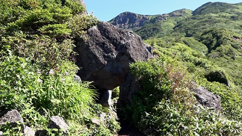
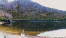
Midpoint between Bettodeai and Murodo
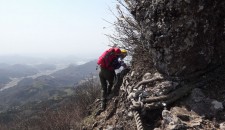
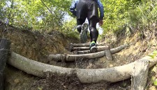
A rock tunnel on the Kanko Shindo trail
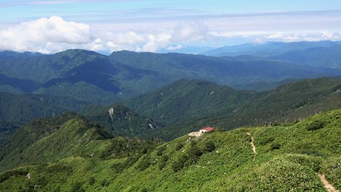
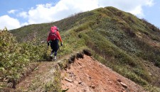
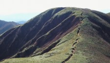
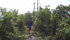
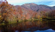
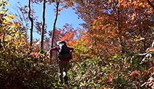
The view from Kanko Shindo trail
The red roof is the roof of Tonogaike Shelter
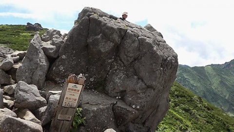
Kurobokoiwa Rock, the starting point of Midagahara
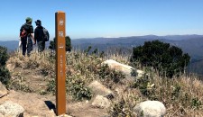
This is where the Kanko Shindo trail and Sabo Shindo trail intersect
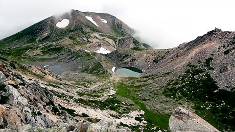
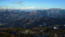
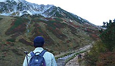
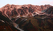
The view from Gozenpo Peak(2702.2m) Onanji Peak~Kengadake Peak
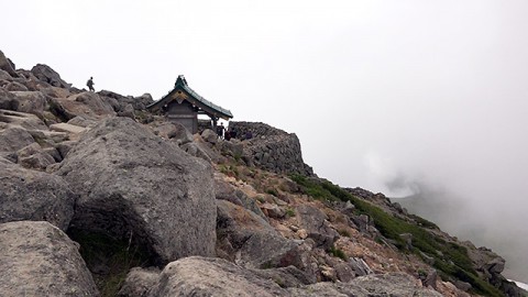
Hakusan Okumiya Shrine which is located right under the summit of Gozenpo Peak
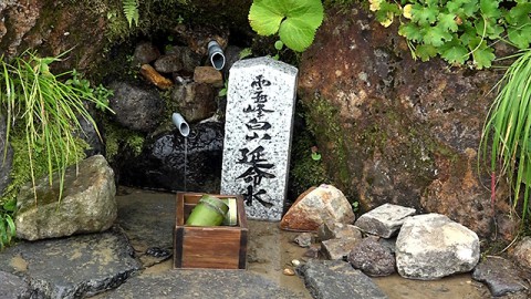
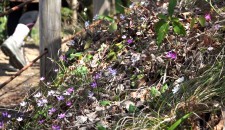
Enmeisui which is a spring at side of the mountain trail which is lower area of Sabo Shindo trail
Required Time
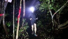
7:11 In front of Bettodeai hiking center
↓(1hour and 41 minutes)
8:52 Rock tunnel
↓(41minutes)
9:33-9:50 Tonogaike shelter hut
↓(50 minutes)
10:40 Kurobokoiwa Rock
↓(31 minutes)
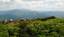
11:11-11:27 Hakusan Murodo visitor center
↓(44 minutes)
12:11-12:25 Summit of Gozenpo Peak
↓(2 hours and 11minutes)
14:36 Bettodeai
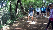
I stopped many times to take videos while I was hiking, so I took longer than most hikers usually would. However, trail runners I saw around Murodo made me want to go faster so I went tripping down half of Sabo Shindo trail to go back to where I started.
*”Hiking in the mountains in Fukiui” is a project in which hikers go hiking in the mountains in Fukui Prefecture along the information in a publication of a group of walking in the mountain in Fukui, “Why don’t you go hiking in the mountains in Fukui?”.
I went hiking in Mt. Hakusan along with information in the 2014 edition.

Publication of the group of walking in the mountains in Fukui, “Why don’t you go hiking in the mountains in Fukui?”.
The left publication is 1992 edition.
The right one is 2014 edition (the latest one).