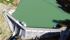
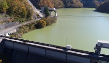
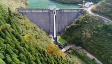
Kuzuryu Dam | Dams in Fukui viewed from drone
2018.11.16
Name : Kuzuryu Dam
Location : Nagano, Ono City, Fukui Prefecture
The name of river : Kuzuryu River – Kuzuryu River System
Type : Earth and rock-fill dam
Administrator : Ministry of Land, Infrastructure, Transport and Tourism, and Electric Power Development Co., Ltd.
Year of completion : 1968
Shooting day : October 26th, 2017
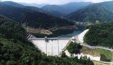
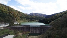
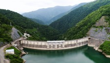
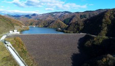
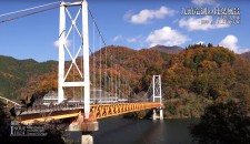
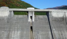
The area around the Kuzuryu Dam, which is a huge dam lake, is familiar to people in Fukui as a cherry-blossom and autumn foliage spot. The dam is 128 meters in height but it is a sloping rock-fill one, so it doesn’t have a scary atmosphere and is nestled calmly between mountains.
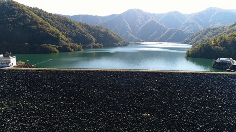
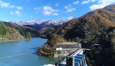
Kuzuryu Dam and Lake Kuzuryu
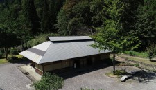
The far left building is the Kuzuryu Dam Control Branch Office, where they distribute the Dam Card. Also, in the office, there is an exhibit room which exhibits materials on the Kuzuryu Dam and you can see the state under construction.
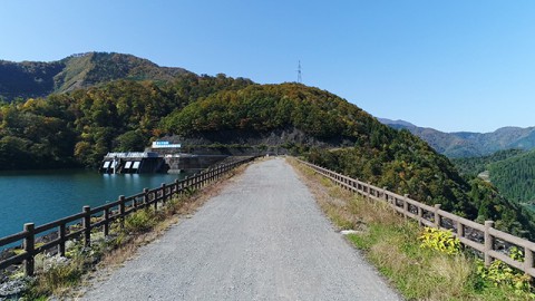
There is a walk on the upper surface of the dam and you can see it freely.
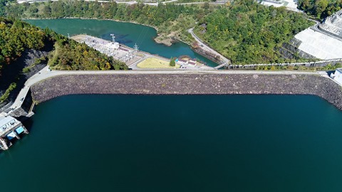
Nagano power plant, which is located under the dam, is a largest hydraulic power plant in Fukui Prefecture.
Dam Card
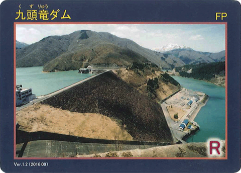
Dam Card (front) Ver.1.2 ( 2016.09 )
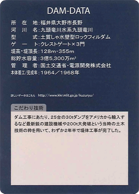
Dam Card (back)
When you head to Gifu Prefecture through National Route 158(Mino Kaido) from Fukui City, after passing JR Lake Kuzuryu Station and a roadside station Kuzuryu, you will see the concrete Washi Dam first. Further along is the huge Kuzuryu Dam rocks were piled up. When you entered a tunnel (Nagano Dam Zuido), after turning right in the middle and there is a parking lot of the dam. Although there is a sign as well, you may miss it, so be careful. The Kuzuryu Dam Control Branch Office is located a walk of 200 meters from the parking lot.
“Dams in Fukui viewed from drone” is a project that introduces dams in Fukui Prefecture through videos with concept of “Moving dam cards”.


