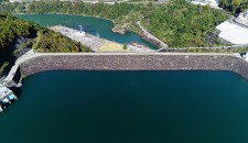
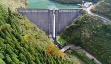
Hirono Dam|Dams in Fukui viewed from drone
2020.06.17
Name : Hirono Dam
Location : Hirono, Minami Echizen Town, Nanjo County, Fukui Prefecture
The name of the river : Hino River – Kuzuryu River System
Type : Concrete gravity dam
Gate : Radial gate x 1 (regular spillway)
Radial gate x 2 (emergency spillway)
Administrator : Fukui Prefecture
Year of the completion : 1976
Shooting day : November 21st, 2017
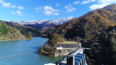
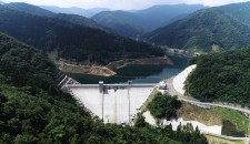
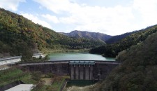
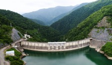
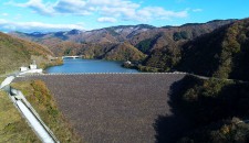
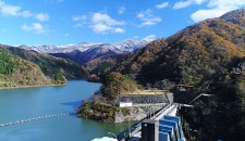
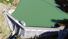
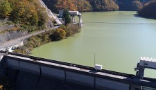
Hirono Dam Lake and Hirono Dam
Hirono Dam is located upstream of Hino River, beyond Managawa Dam.
The dam lake and mountains of the region offer excellent views.
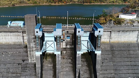
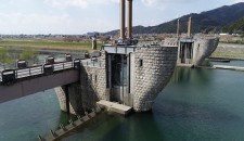
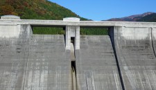
The two radial gates on the center of the crest are the “face” of this dam.
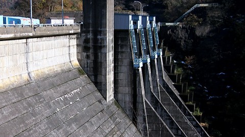
The downstream of the dam turns soon, so it has bad visibility and a closed space.
In addition, it creates a fort-like atmosphere deep in the mountains because of the massive dam body and the mechanical radial gates.
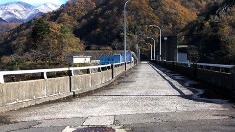
The upper surface of the dam is the road to the mountain trail of Yashagaike Pond.
There is a park and a bathroom after crossing the dam from the monitoring facility side.
Dam Card
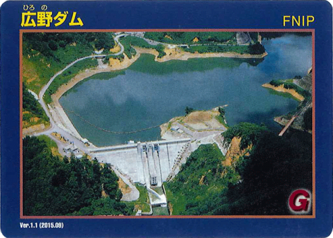
Dam Card (front) Ver.1.1 (2015.09)
They distribute the Dam Card at the monitoring facility.
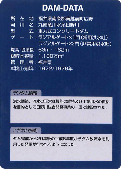
Dam Card (back)
“Dams in Fukui viewed from drone” is a project that introduces dams in Fukui Prefecture through videos with concept of “Moving dam cards”.


