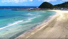
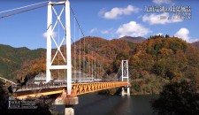
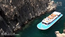
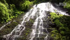
Masutani Dam|Dams in Fukui viewed from drone
2018.11.16
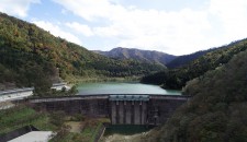
Name : Masutani Dam
Location : Utsuo, Minami Echizen Town, Nanjo County, Fukui Prefecture
The name of river : Masutani River – Kuzuryu River System
Type : Rock-fill dam
Gate : Multistage roller gate x 1 (intake)
Multihole slide gate x 1 (intake)
Jet flow gate x 3 (emergency discharge)
Administrator : Fukui Prefecture
Year of completion : 2005
Shooting day : November 21st, 2017
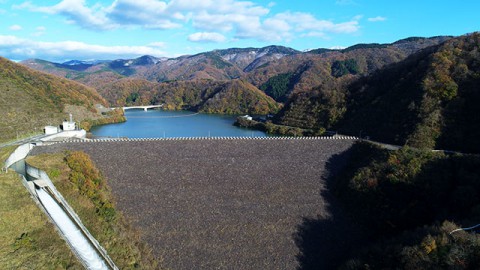
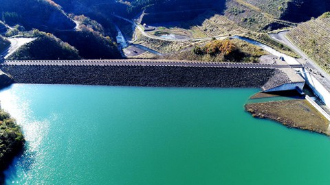
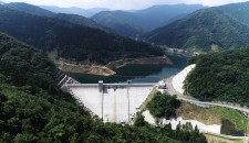
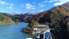
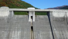
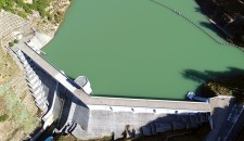
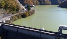
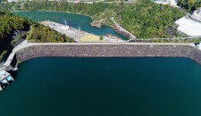
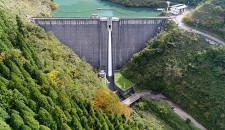
Masutani Dam and its dam lake ”Lake Masutani"
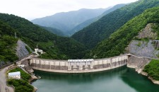
The dam has an open and bright atmosphere, which you can enjoy the presence of the magnificent 100.4-meter-high rock-fill dam from a park with a parking lot under the dam.
When I view from the park, I can see that rocks are piled up to make flat the surface for the down stream side of the dam body. It contrasts with the upstream rough surface.
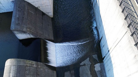
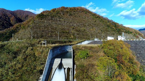
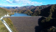
The spillway is on the right bank of the dam. The overflew water flows down from the end of the crest through the curved channel.
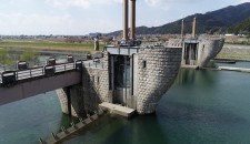
Dam Card
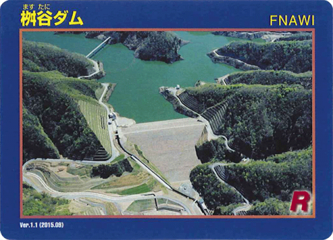
Dam Card (front) Ver.1.1(Sep.2015)
They distribute the Dam Card at the monitoring facility on the right bank of the dam.
(the left bank from the downstream)
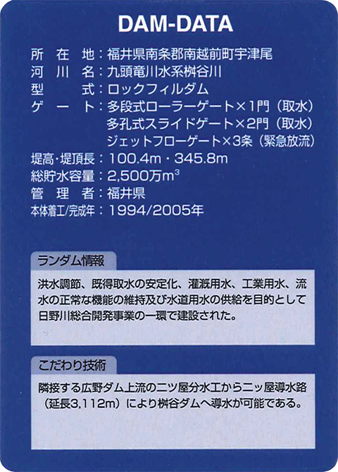
Dam Card (back)
“Dams in Fukui viewed from drone” is a project that introduces dams in Fukui Prefecture through videos with concept of “Moving dam cards”.