Otsuro Dam | Dams in Fukui viewed from drone
2018.11.16
Name : Otsuro Dam
Location : Hongo, Oi Town, Oi County, Fukui Prefecture
The name of river : Otsuro River – Saburi River System
Type : Concrete gravity dam
Administrator : Fukui Prefecture
Year of completion : 2012
Shooting day : November 13th, 2017
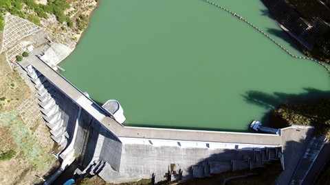
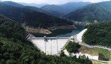
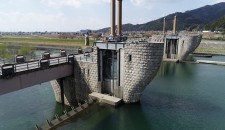
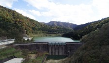
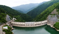
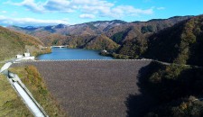
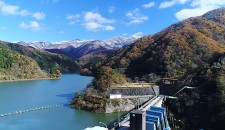
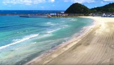
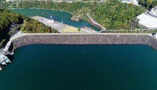
The dam features the dogleg dam body. When you look from the side, the angle is emphasized and looks like a bow of a huge warship. Actually, the dam is close to the sea and it takes only ten minutes from Obama Nish Interchange on Maizuru Wakasa Expressway.
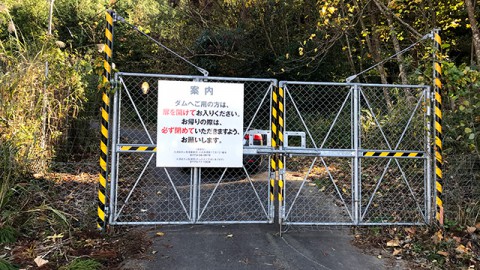
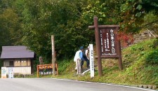
It’s located near the town, so there is a gate to ward off animals at the entrance on the road to the dam.
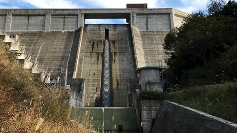
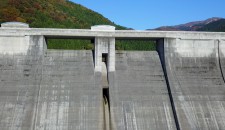
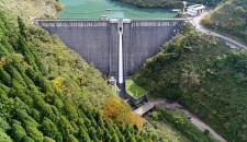
The crest part with colonnaded design looks like RoboCop face whose eyes are connected. “The eyes” is the emergency spillway and where the water flowing out is the regular spillway.
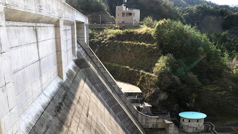
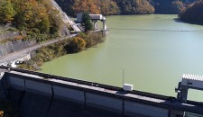
They distribute the Dam Card at the dam control office and the monitoring facility on the left bank of the dam (in the back of the photo). *The monitoring facility is closed from December 1st to March 31st. The dam control office is in the town far from the dam.
ダムカード
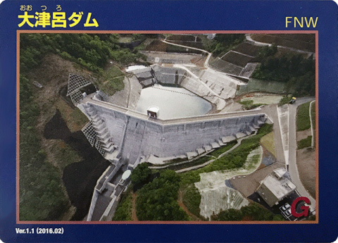
Dam Card (front) Ver.1.1 (2016.02)
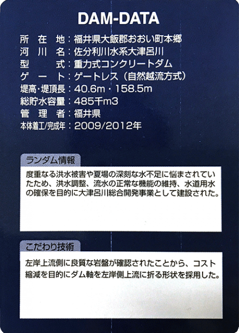
Dam Card (back)
“Dams in Fukui viewed from drone” is a project that introduces dams in Fukui Prefecture through videos with concept of “Moving dam cards”.


